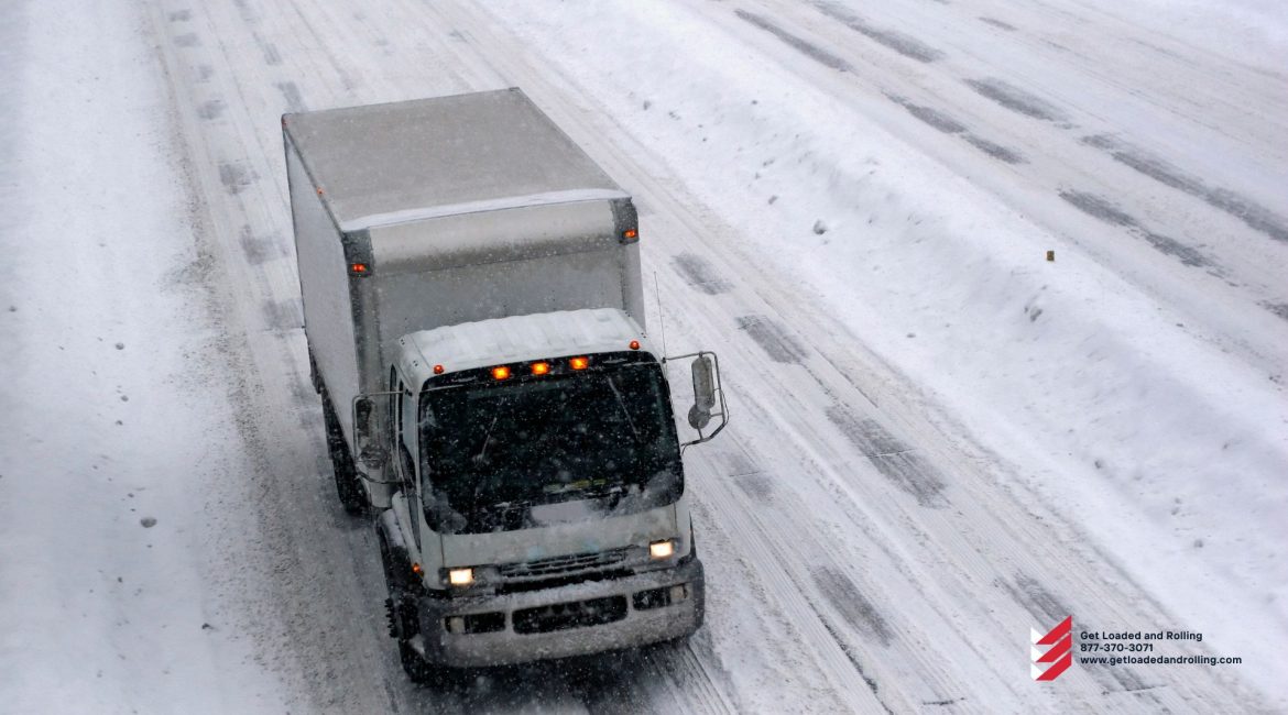
This will be the first significant snowfall of the season in these areas. Winter weather warnings have been issued by the National Weather Service from northern Georgia to New Jersey.
Rain will turn to snow Sunday night and continue into Monday, potentially causing significant disruptions to transportation, business operations, and supply chain networks. Washington, Baltimore, Richmond, Virginia, and Asheville, North Carolina are among the major cities in the potential impact zone. Interstates 81 and 95, as well as sections of other secondary interstate highways and U.S. highways, are among the major highways that could become hazardous.
Snow accumulations will range from 3 to 8 inches, depending on location and elevation, with some areas receiving more. Winds in the mountains will gust from 30 to 40 mph, with gusts exceeding 40 mph in some places. Blowing snow will cause whiteout conditions and reduced visibility.
Road and business closures are possible, particularly where winds are strongest and snowfall is heavy. Trees and power lines could be blown down, causing traffic jams and power outages. The storm is expected to pass through the mid-Atlantic by late Monday afternoon or early evening.
